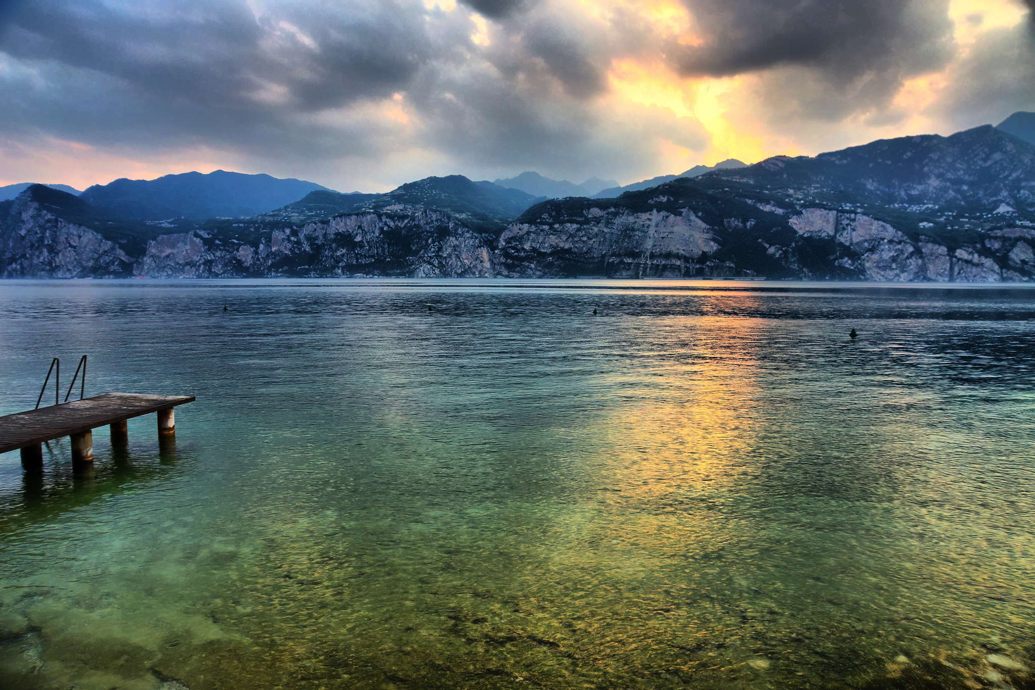
Lake Garda, the largest Italian lake, was formed by the glacier during the last Ice Age whose traces can be followed today.
First settlements date back to the year 2000v.Chr. and its ancient name is Lacus Benacus. The north of the lake belongs to the region of Trentino-Alto Adige (Trentino), the west to Lombardy (Brescia) and the east to Veneto (Verona) .The northern shore is fringed by the two-thousand high Monte Baldo mountain, the southern part is in the plane.
The lake is mainly fed by the Sarca river, which flows into the lake in Torbole. As Mincio the river leaves the lake at Peschiera and flows into the Po later. In the lake there are several islands, the largest, the Isola del Garda with the Villa Borghese is situated near Salò. 2 km south of which the island of San Biagio called “I Conigli”, the Rabbit Island. The Isola di Trimolone di front of Assenza / Brenzone was until 2005 restricted military zone.
Some data: the lake is located 65 m above sea / M area 369.98 kilometers “, length 51.6 km, width 17.2 kilometers, 158.4 kilometers circumference, max. 346m depth, average depth 133,3m
27 February 2018
Altre news


 WE USE COOKIES TO MAKE SURE YOU CAN HAVE THE BEST EXPERIENCE ON OUR WEBSITE. BY CONTINUING BROWSING ACCEPT THE USE OF COOKIES.